
Watch The Rise And Fall Of Downtown With A Series Of Maps Starting In 1854
 Jer Staes
Detroit, MI
Jer Staes
Detroit, MI
Player

Show notes
Up until 2011, things weren’t looking too hot for downtown Detroit. Even then, if you look at development now vs. how dense the building used to be, the difference is astonishing.
This video uses a series of maps to highlight the fact that the center of the city started out quite dense, like you would expect big cities to be – then through a series of demolitions, reconfigurations, and of course, the decimation the freeways caused – turned into the downtown that although buildings are starting to get retail tenants still does not resemble the activity and density of yesteryear.
All maps have been drawn by Conrad Kickert or his graduate assistants at the University of Michigan and the University of Cincinnati.
Chapters
No chapters for this episode.
Transcript
No transcript for this episode.
No matching lines.
Hosts & Guests

Comments
Up next
All episodes
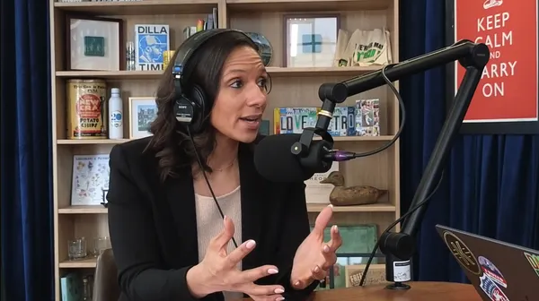
Video Why Mary Sheffield wants to be Mayor of Detroit
In the third in our series of conversations with candidates for Mayor of the City of Detroit, I sit down


Video One way Michigan might grow due to climate change // Restaurant closures // Are we trading skyscrapers?
Happy Holidays! It's Jer. One of the great things about living in a city is stretching your legs


Video The Weekender: Guilty plea // Detroit after Duggan // Another historic rehab // Things to do
Hey friends, it's Jer. Hope you're having a good weekend. Let's get into 12